(or "Lion")
The cave was discovered 15 years ago during an expedition of the French Catamaran club and presented on the one hand a strong speleological/exploratory interest and on the other hand an exceptional difficulty, especially up to a depth of -470m. The success of this year's expedition lies in the fact that the 23-member team managed to overcome all difficulties and reach a depth of -1,110m. (and 2,850m long), doubling the length and depth of the cave this year. This fact ranks the cave as the 2nd deepest in the country and 60th in the world. It is worth noting that although there are hundreds of thousands of caves worldwide, only 84 of them (including the "Lion") exceed -1.00 m in depth.
In this particular area there has been intense caving activity since the early 80s (caving expeditions mainly French on an almost annual basis). The result of these long-term efforts is both this year's exploration, as well as the also important discovery of the country's deepest cave chasm (in 1998), the "gurguthaka" , which reaches a depth of -1,208m. and is located very close to "Lion" (about 500m. north-northeast).
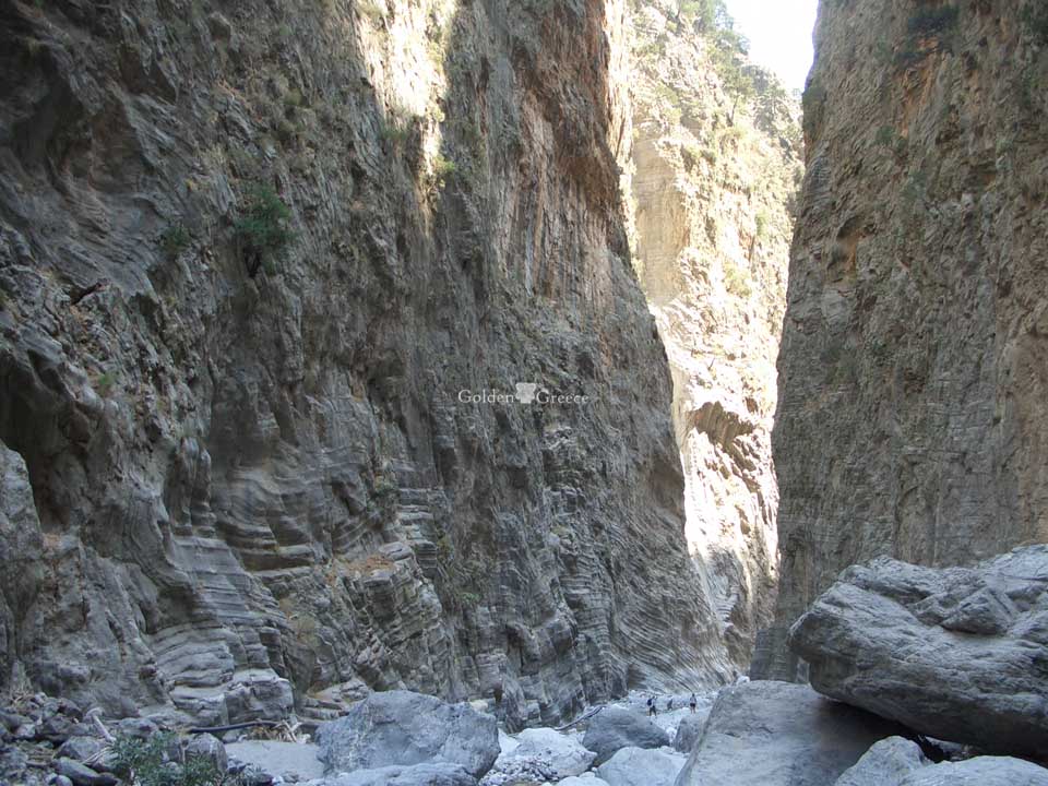
The entrance of the "Lion" is located at an altitude of 1,600m, while from its entrance comes a strong cold current of air, an indication of its enormous size. In its first part, i.e. from the entrance to the depth of 480m, it is relatively narrow and strongly steep, with successive but small vertical descents. At a depth of -480m, the morphology of the cave changes as it turns into an underground river, which flows through a gallery with large dimensions (width up to 20m, height 20 to 30m) and the supply, which gradually increases (with depth ), reaching 200 liters/sec. (at the bottom). In the deepest parts, the cave, the cave forms many waterfalls, but also small successive lakes. At its deepest point (-1,110m. i.e. at an altitude of 530m above sea level), the cave ends in a siphon,which requires diving to continue exploration.
The 23 speleologists, Greek and French, declared themselves particularly satisfied with this laborious but rare experience, as they proceeded to complete mapping, but also to photograph all the parts of the cave that were explored. The speleological associations that supported the expedition ( CATAMARAN , CDS Doubs , CDS Ain , GSHL from France and SELAS, FOS, SPOK and EOS CHANION from Greece) are now considering the possibility of continuing the explorations in 2009 or 2010, expecting further continuation of explorations.
What is certain is that the north-eastern fringes of the White Mountains in the prefecture of Chania are one of the most interesting (speleological) areas in the world and this fact is bound to attract more speleological expeditions in the future. It is very likely that the systematization of research in the area will lead to even more important discoveries in the coming years.
Editor: Fotini Anastasopoulou